 AI
AI

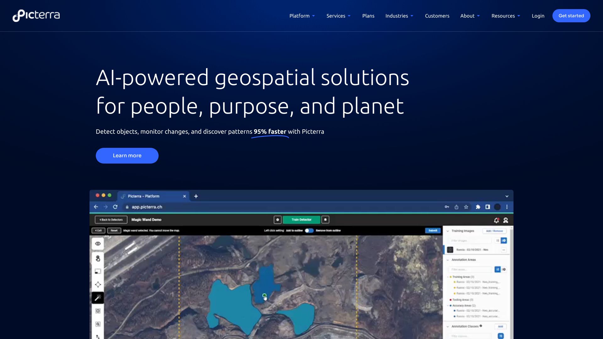
Picterra is a software platform for the training, deployment, and management of machine learning models powering geospatial apps and business services. It provides AI-powered geospatial solutions for detecting objects, monitoring changes, and discovering patterns in satellite, drone, and aerial imagery 95% faster.
23 Nov 2023
Readmore
 Satellite data

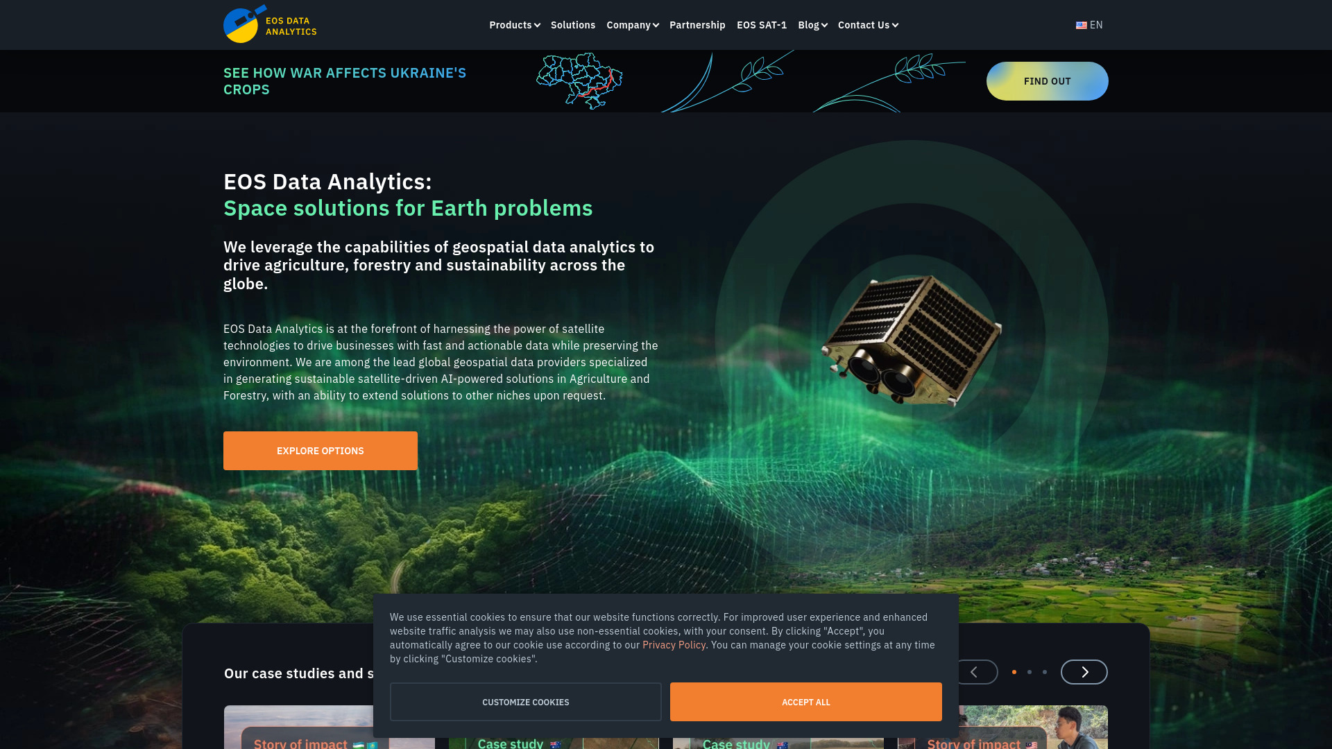
EOS Data Analytics (EOSDA) is a global provider of AI-powered satellite imagery analytics founded by Dr. Max Polyakov. EOSDA provides access to extensive satellite data and advanced analytical tools developed by their expert team to support the decision-making process. They specialize in generating sustainable satellite-driven AI-powered solutions in agriculture and forestry, with the ability to extend solutions to other niches upon request.
27 Jul 2024
Readmore

